

Polar vortex returns
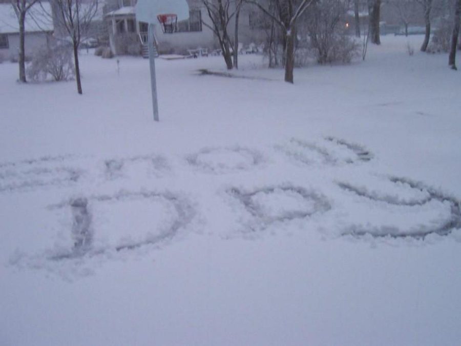
Mon., Nov. 17 brought the first snow day of the year to SHS. Cincinnati received approximately 4-5 inches. The storm also brought record low temperatures, with a -4 degree wind chill. (PHOTO BY DOUG MADER)
November 24, 2014
The 2013-2014 winter brought a new term to Cincinnati weather: the polar vortex. The vortex occurs when northern weather systems dip into the south and cause record breaking temperatures.
Last winter, which was one of the worst on record, brought the polar vortex to Ohio several times. Some of the colder days had their high temperature in the negatives.
The first time the polar vortex struck last winter was in Jan. 2014, cancelling school due to extreme cold. However, this winter, the Vortex came for the first time in Nov., bringing one of the earliest snow days in years.
It also brought temperatures into the single digits, with a -4 degree wind chill.
Last year’s harsh winter was predicted in the Farmers Almanac, and the Almanac has predicted a similar fate for this winter. It says that there will be lots of snow fall, and very cold weather.
There is one major difference between last year and this year, and that is that the winter weather has begun a little under a month before last year, which may imply that this will be a very long winter. This also brings concern that there may be even more snow days than last year.